 RUTLAND WATER-150920
WHITWELL - WATERSPORTS - Email rutlandwatersports@anglianwater.co.uk - Tel: 01780 460154 Postcode: LE15 8BL - Open from 9am. Closing times vary - (Closed Tues & Wed from 31 Oct - 2 Apr)
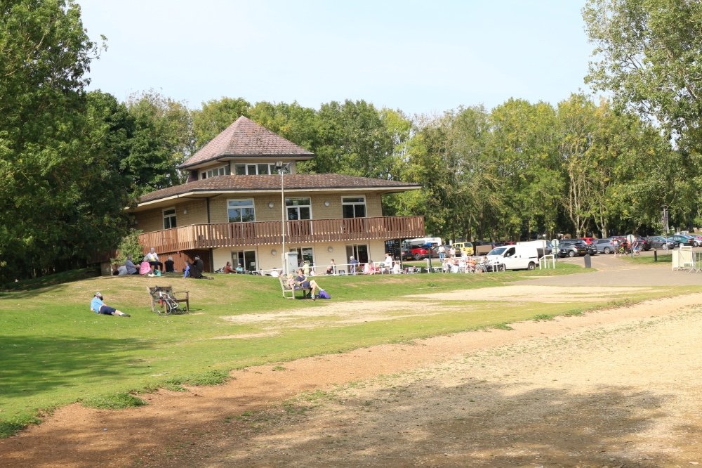
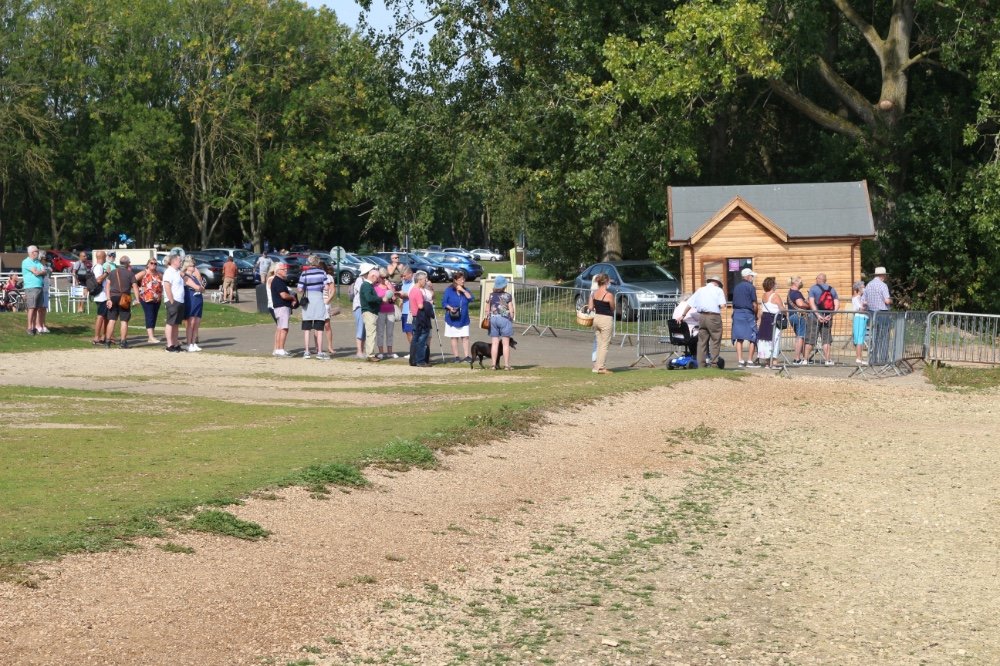
SYKES LANE - VISITOR CENTRE - Email: rutlandwaterinfo@anglianwater.co.uk - Tel: 01780 686800 Postcode: LE15 8QL - Open from 10am-5pm Apr - Mid Oct - Closing times vary from Mid Nov - End Mar
NORMANTON - FISHING LODGE - Email: fishing@anglianwater.co.uk - Tel: 01780 686441 Postcode: LE15 8HD - Opening times - March - September 8am - 5pm October 8am - 4pm, November 8am - 2pm, December & January 8am - 1pm, February 9am - 1pm (closed Monday and Tuesday)
EGLETON - NATURE RESERVE - Email: rutlandwaterinfo@anglianwater.co.uk - Tel: 01572 770651 Postcode: LE15 8BT - Open from 9am - 5pm (1 Mar - 31 Oct) - 10am - 4pm (1 Nov - 28 Feb)
LYNDON - NATURE RESERVE - Email: rutlandwaterinfo@anglianwater.co.uk - Tel: 01572 737378 Postcode: LE15 8RN - Open from 9am - 5pm (Match to September) - 10am - 4pm (Saturday & Sunday September only)
NORMANTON - CHURCH - Email: weddings@anglianwater.co.uk - Tel: 01780 686800 Postcode: LE15 8HD
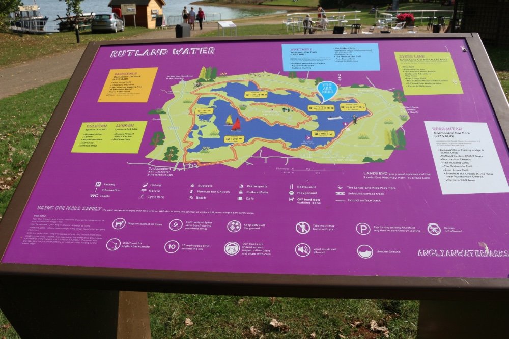
CAR PARK OPENING HOURS
Normanton, Sykes Lane, Whitwell & Barnsdale - Open from 9am daily - Please note: Barnsdale Car Park is closed Monday - Friday from end October until end March - Car park closing times are advertised at car park entrances - No overnight stays in the Car Parks are permitted
CAR PARKS
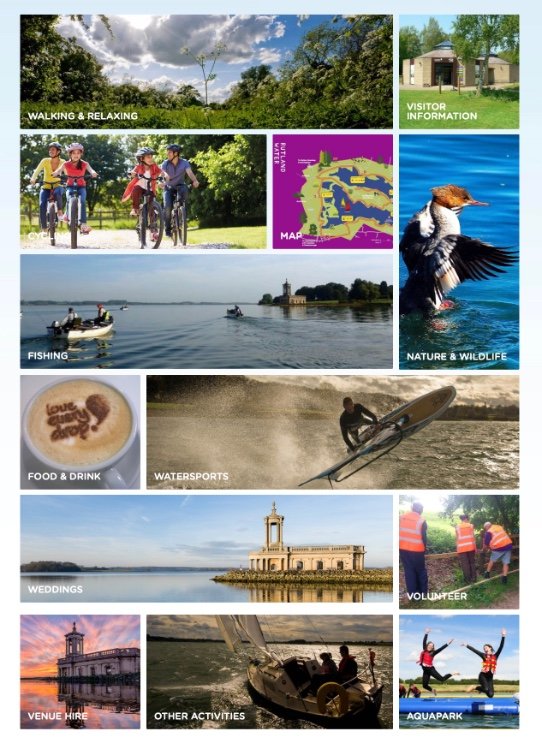
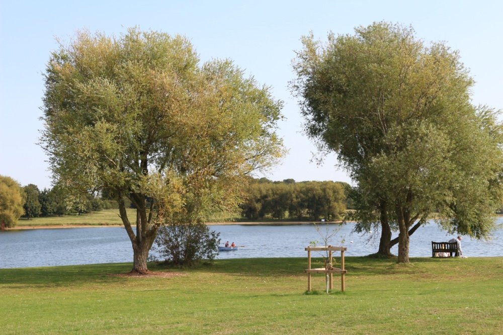
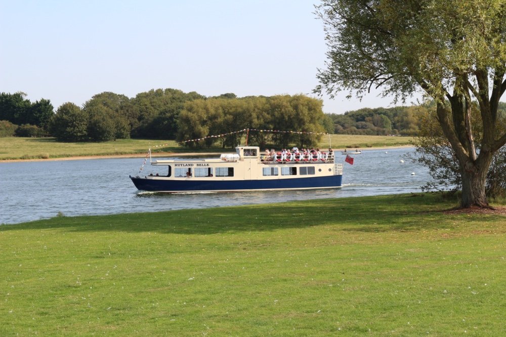
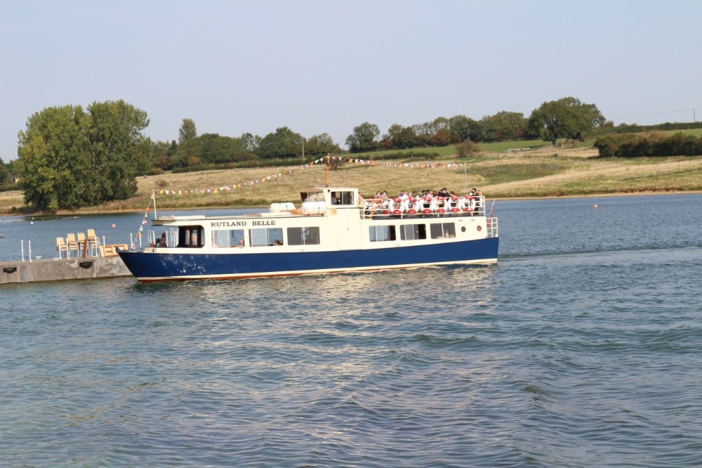
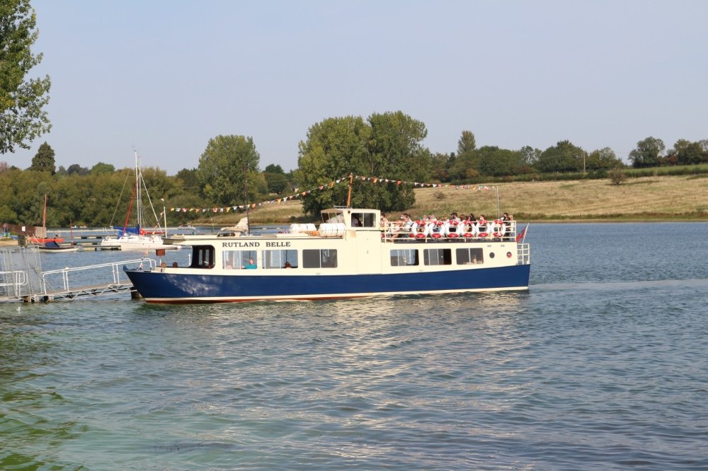
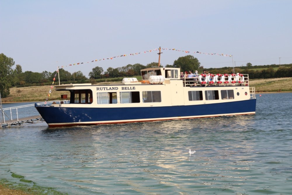
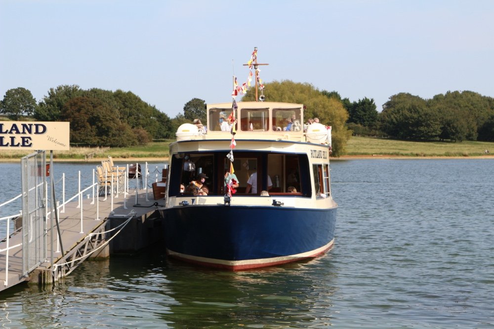
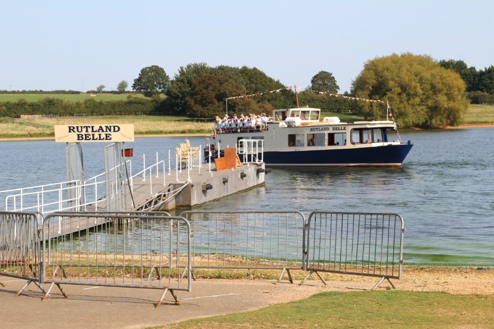
Whitwell Car Park - LE15 8BL -Located on the North Shore, Whitwell is a great place to park for the day for those looking for an active day out. At Whitwell you will find:Watersports
Aqua Park Rutland - Rutland Cycling - The Rutland Belle - Outdoor Gym - The Harbour Bar Café - Four Foxes Café
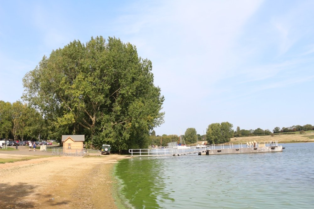
Sykes Lane Car Park - (LE15 8QL) - Located on the North Shore, Sykes Lane is a great place for a family day out. At Sykes Lane you will find:
Mini Golf, Bugtopia the zoo - The Rutland Water Beach - Children's Adventure Play Area - Four Foxes Café - The Rutland Water Visitor Centre
Normanton Car Park - (LE15 8HD) - Located on the South Shore, Normanton is a good place for picnics and relaxing. At Normanton you will find:
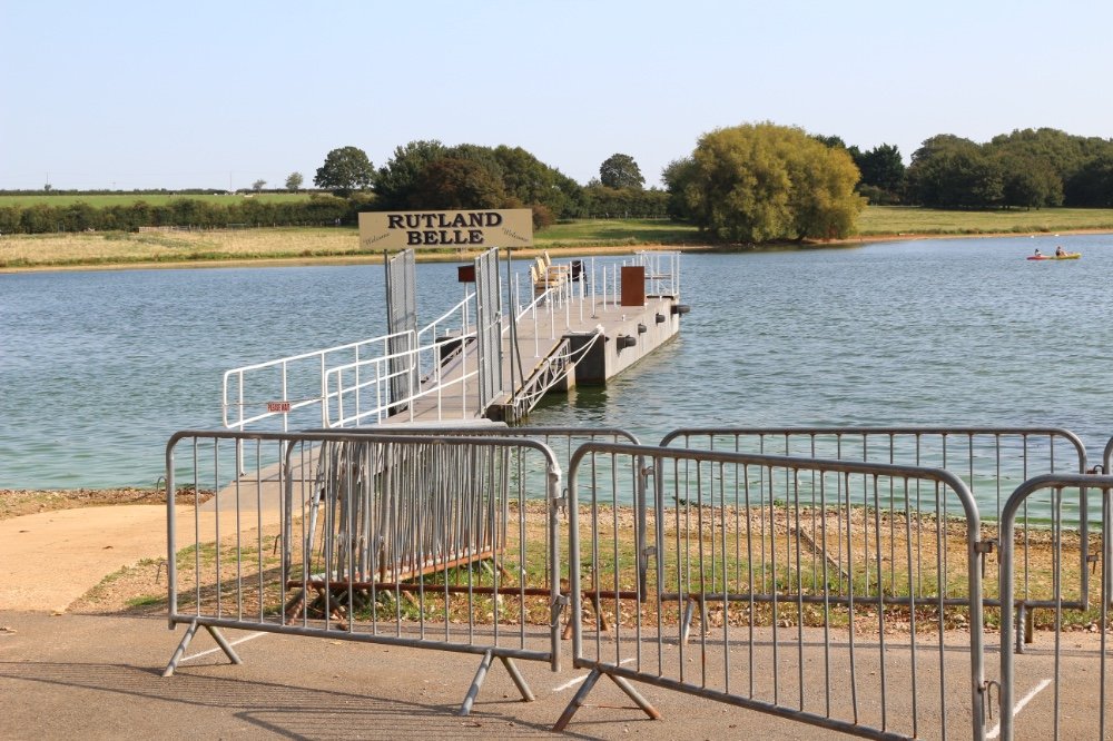
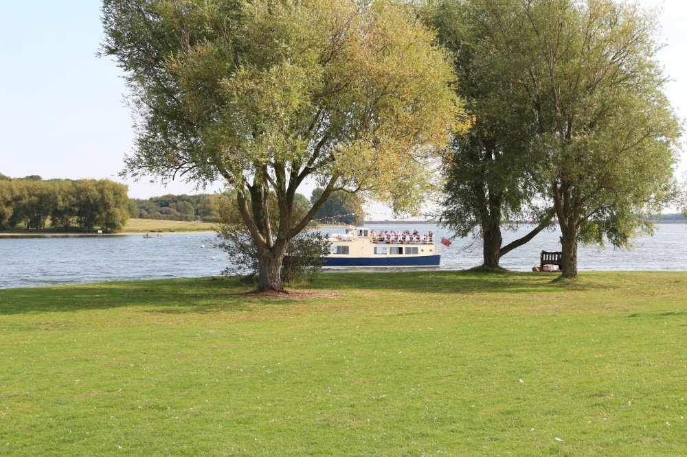
Rutland Cycling - Rutland Water Fishing Lodge - Normanton Church - The Rutland Belle - The Waterside Café - Four Foxes Café
Barnsdale Car Park - (LE15 8AB) - Located on the North Shore, Barnsdale is the perfect place to just escape it all, enjoy wonderful views and relax. At Barnsdale you will find:
Four Foxes Café - Children's Play Area - Please note - Barnsdale car park is open Mid March - End of October only
THE HISTORY OF RUTLAND WATER
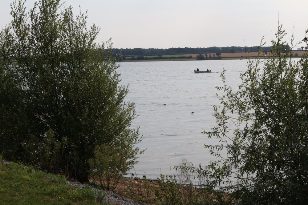
Rutland Water is a reservoir in Rutland, England, east of the county town, Oakham. It is filled by pumping from the River Nene and River Welland and provides water to the East Midlands. It is one of the largest artificial lakes in Europe. By surface area it is the largest reservoir in England, but by capacity it is exceeded by Kielder Water.~
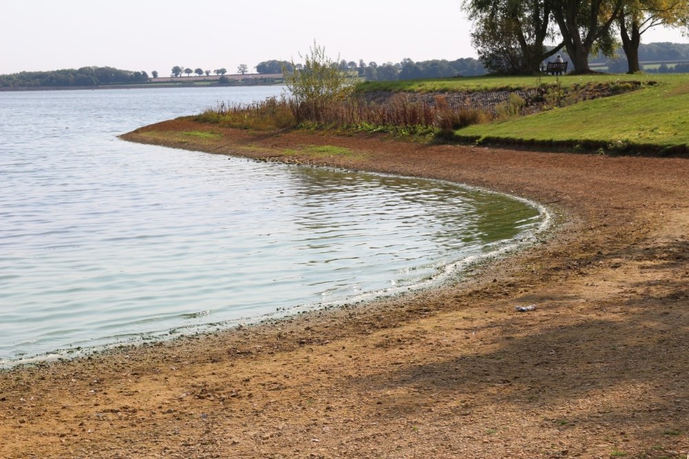
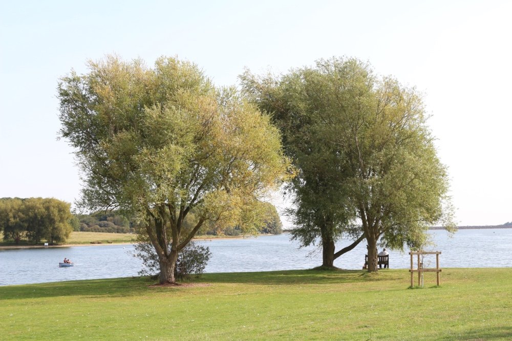
Set in 3,100 acres (13 km2) of countryside, it has a 23-mile (37 km) perimeter track, (17-mile (27 km) excluding Hambleton Peninsula) for walking or cycling. Since the water is drawn upon when needed, the relative areas of land and water vary a little, but the flatter parts of the lake margin are enclosed by banks so that the wetland nature reserve is maintained (grid reference SK886073).
A 1,555 hectare area of lake and shore is a biological Site of Special Scientific Interest, a Special Protection Area under the European Union Directive on the Conservation of Wild Birds and Nature Conservation Reviewsite.[6] An area of 1,333 hectares is a Ramsar internationally important wetland site, and 393 hectares at the western end is managed by the Leicestershire and Rutland Wildlife Trust.
Its construction by damming the Gwash valley near Empingham was completed in 1975. During its construction, it was known as Empingham Reservoir. It flooded six or seven square kilometres of the Gwash valley as well as the side valley at the head of which lies Oakham. Nether Hambleton and most of Middle Hambleton were demolished and their wells were plugged as part of the ground preparation. Their neighbouring village of Upper Hambleton survived, and now sits on the Hambleton Peninsula. The Gwash makes a net input to the lake but its flow downstream is maintained. Most of the stored water is extracted from the River Welland at grid referenceTF017060, between Tinwell and Stamford and from the River Nene upstream from Peterborough, a city which is a major user of the water.
Because much of the valley is clay, material for the dam was extracted from pits dug within the area that would be subsequently flooded. The clay dam is 115 feet (35 m) high, and around 1,300 yards (1,200 m) long. At its base, it is up to 890 yards (810 m) wide, and the finished structure has been landscaped to blend in with the environment, even when viewed from Empingham, the nearest village.[9]
Rutland Water contains a limnological tower for study of the reservoir's ecological conditions.